Wasceca County RCS v1.0
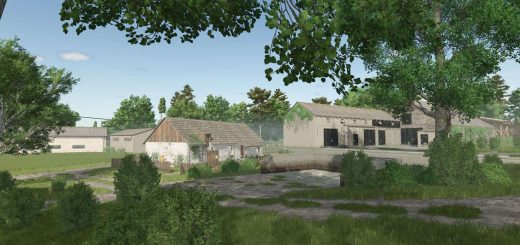
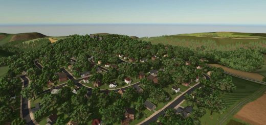
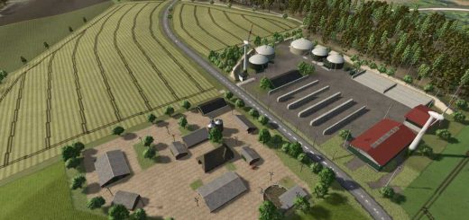
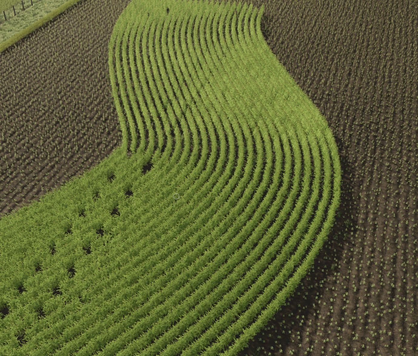
A midwestern united states map, based on a real life location in southern Minnesota. This map boasts 30 airable fields, 3 meadow fields, 2 forestry area’s, 2 pig feed mill productions, real life gravel roads. 8 prebuilt farms, most placeable buildings are sellable, with 1 empty area to build your own farm, a bulk buy station for basic farm needs. The Co-op has provided 3 different trailer’s and semi to transport animals and goods. The vehicle shop has also provided a forklift to aid in loading pallets and other purchased items. More realistic to the area weather event’s including twisters. You also have the ability for free water from multiple bodies of water. A modern style pig feeding facility is located on the map as well. There are 2 triggers by the “control panel” in the office. There is one to remove all the fences inside, and a 2nd trigger to actuate the fans. The feed silos can be filled via Belt.