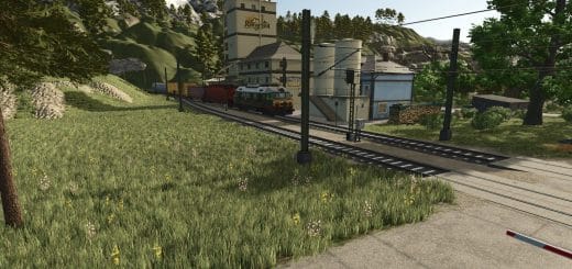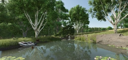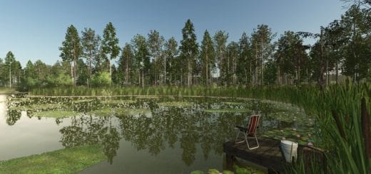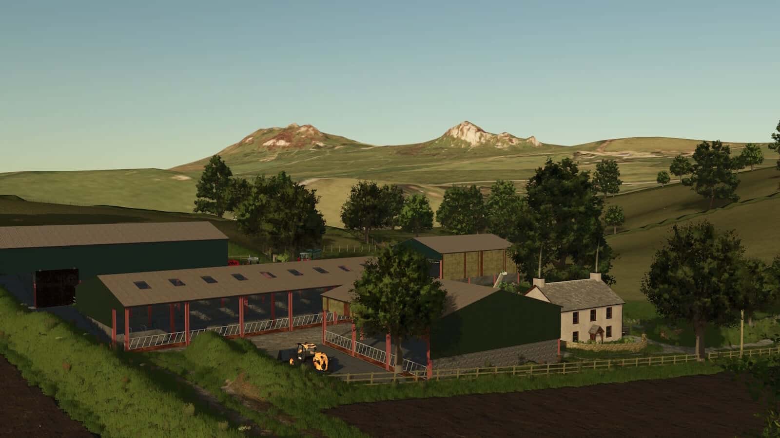
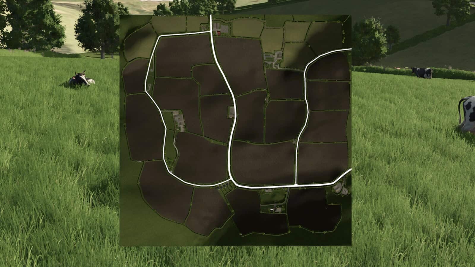
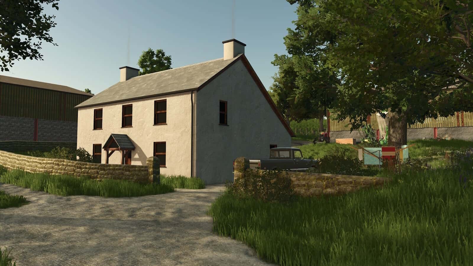
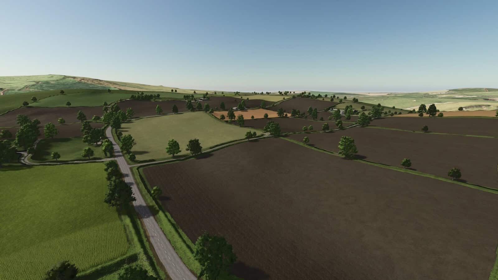
Glanrhyd is a small British countryside map built from the ground up as part of a 28-day mapping challenge. Set among rolling hills, narrow country lanes and a winding Welsh-style valley, it aims to capture the character of rural Britain while providing an enjoyable and practical farming experience.
This is my first map release, although I have been creating maps and mods since 2013.
Features
- Rosehill Farm, an arable-focused farm
- Caerau, a livestock farm suited to dairy and beef farming
- A selection of small and medium-sized fields
- Narrow British-style country roads
- Traditional hedgerows, fencing and stone walls
- Farmyards and agricultural buildings
- Grain and agricultural selling facilities
- Vehicle dealership
- Animal dealer
- Community areas and points of interest
- Twenty Eight Inn
- Welsh-style chapel and traditional countryside buildings
- 50 supporter names hidden throughout the map
- Built live on YouTube over the course of 28 days, with the community following the project from the first fields through to the finished map