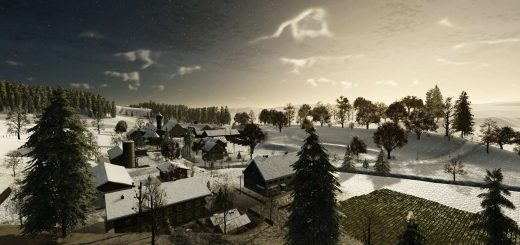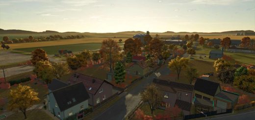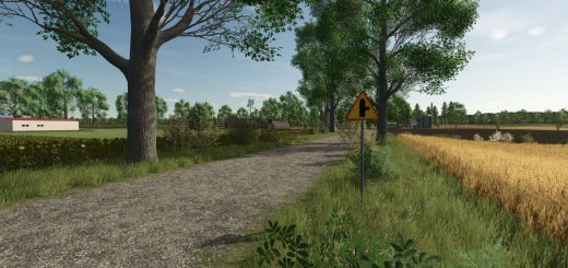


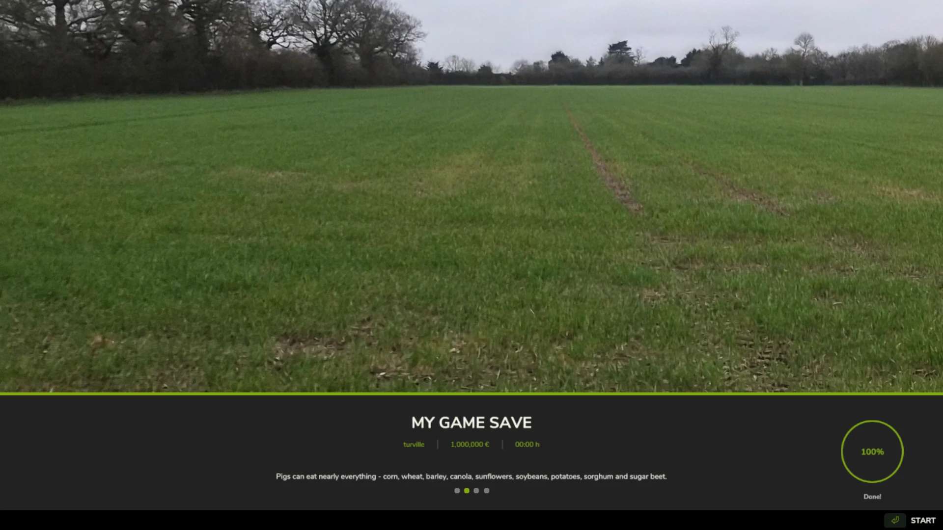

Turville demo only v1.0
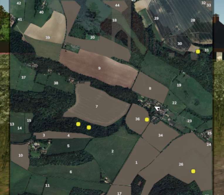
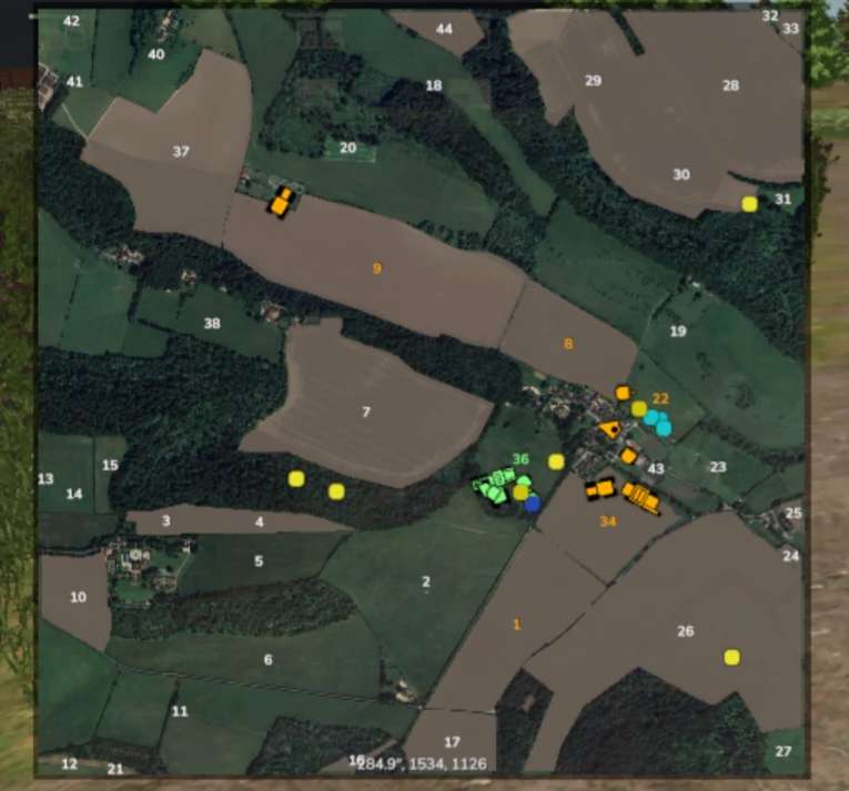
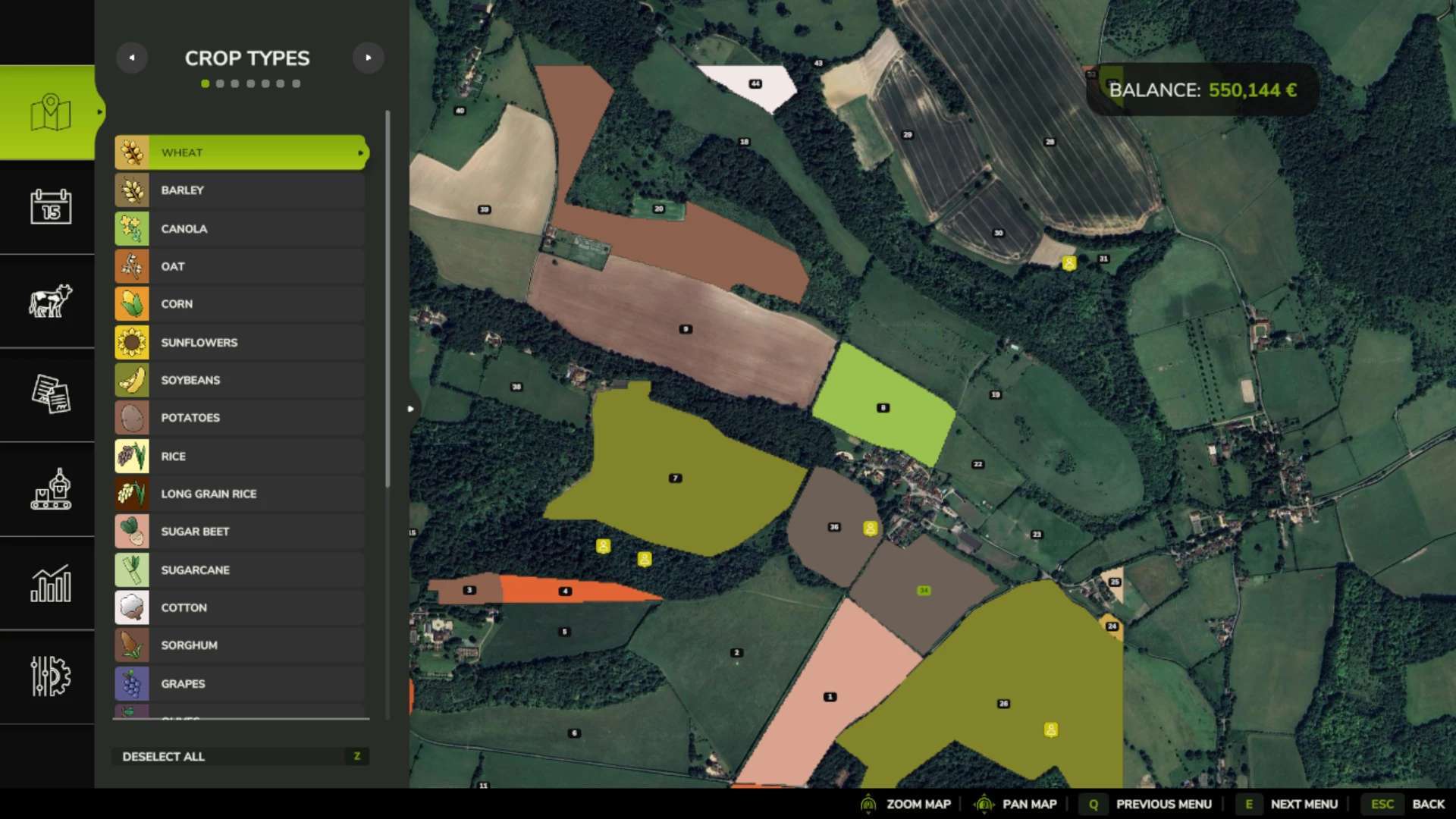
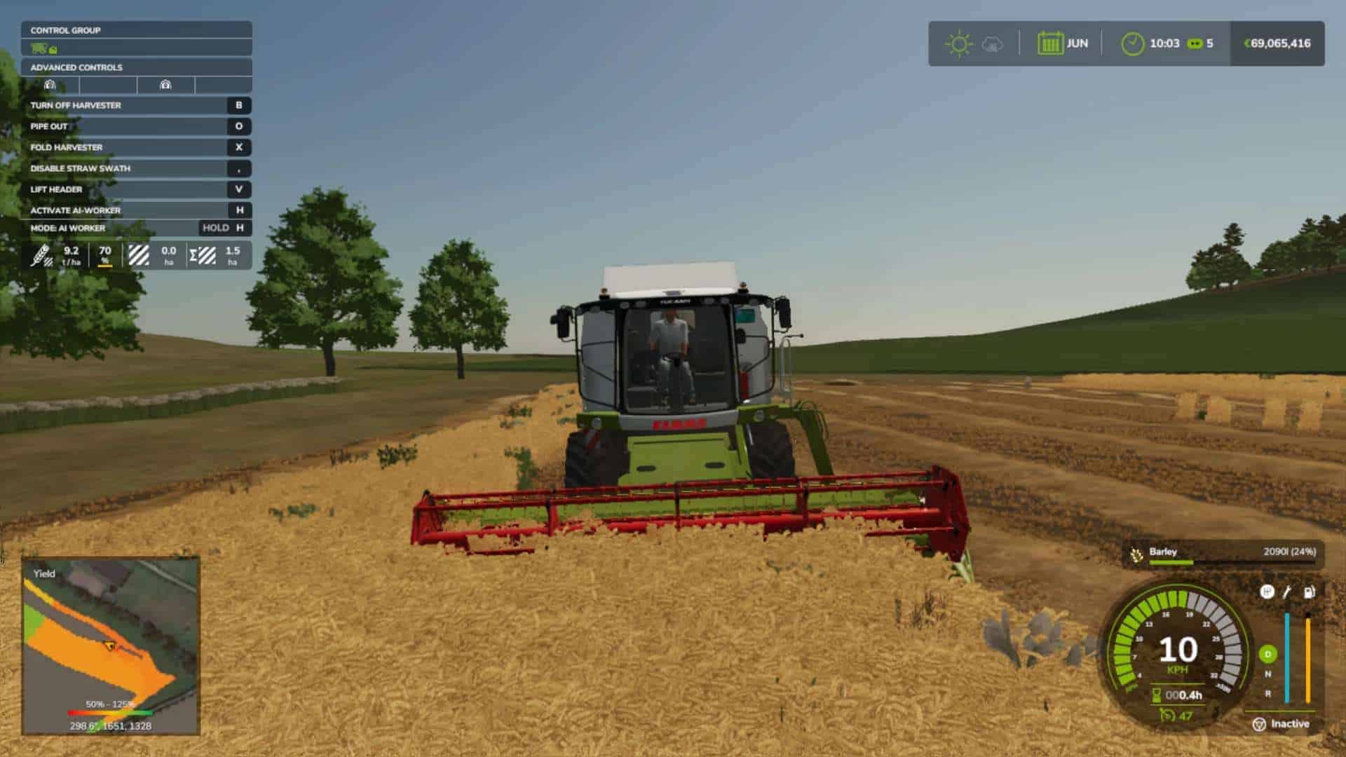
Realistic UK hills, and it was the occasion that is known for the famous t v show in the UK demonstration, only still in development.
![]()
Realistic UK hills, and it was the occasion that is known for the famous t v show in the UK demonstration, only still in development.