Zhuravlevo Map v1.0
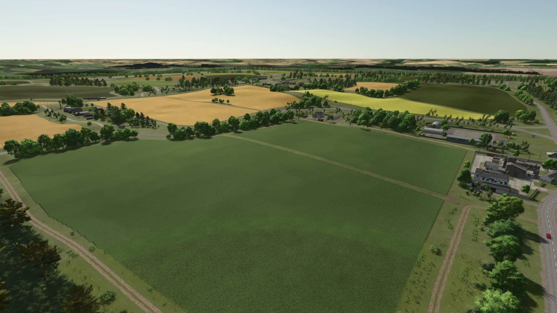
The map “Zhuravlevo” was created based on a fictitious terrain corresponding to the terrain and landscapes of Central Russia.
Map information:
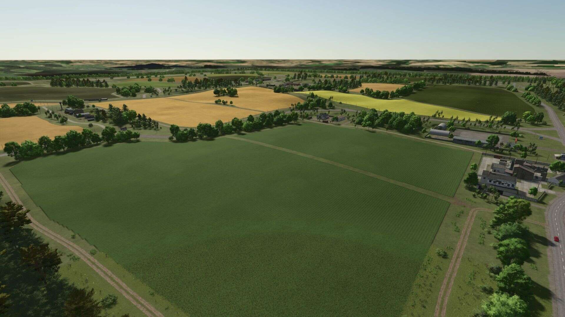
– The standard map size is 2 x 2 km.
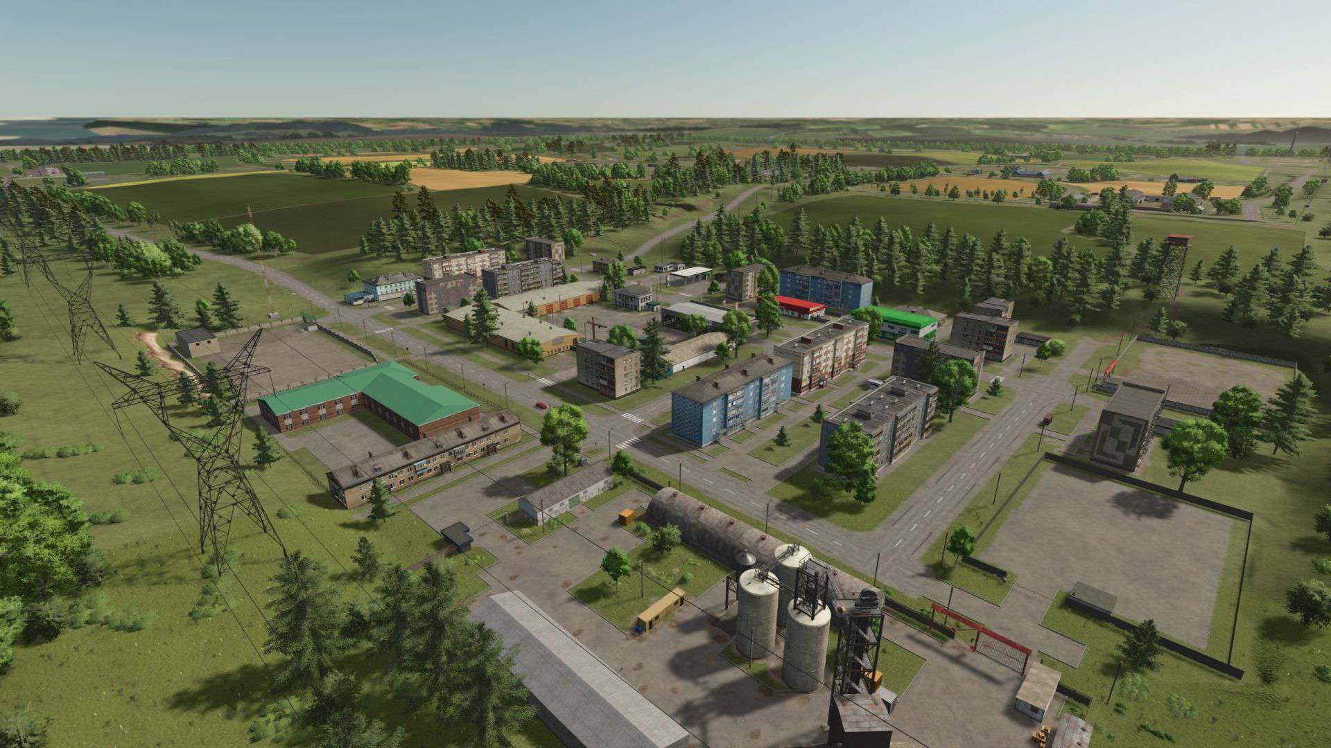
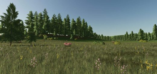
– The map has a relief layout: hills, plains, and lowlands. There are reservoirs, forests, and forest plantations.
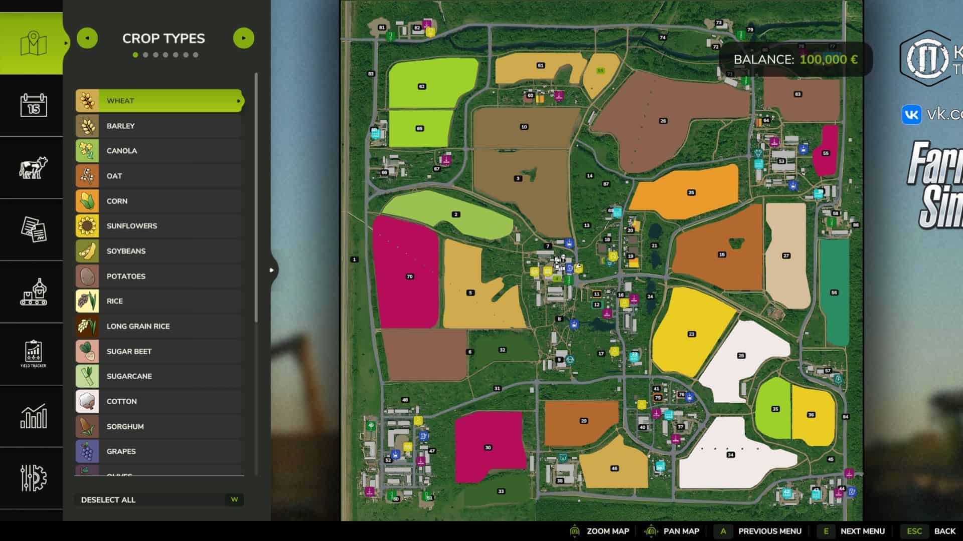
– 25 fields;
– 2 meadows;
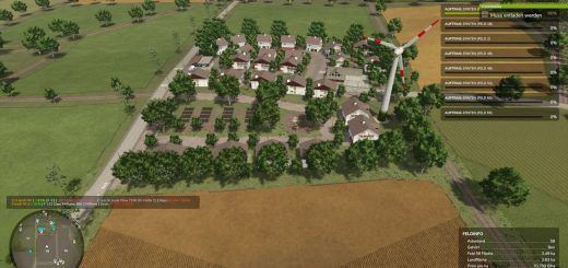
– 87 plots;
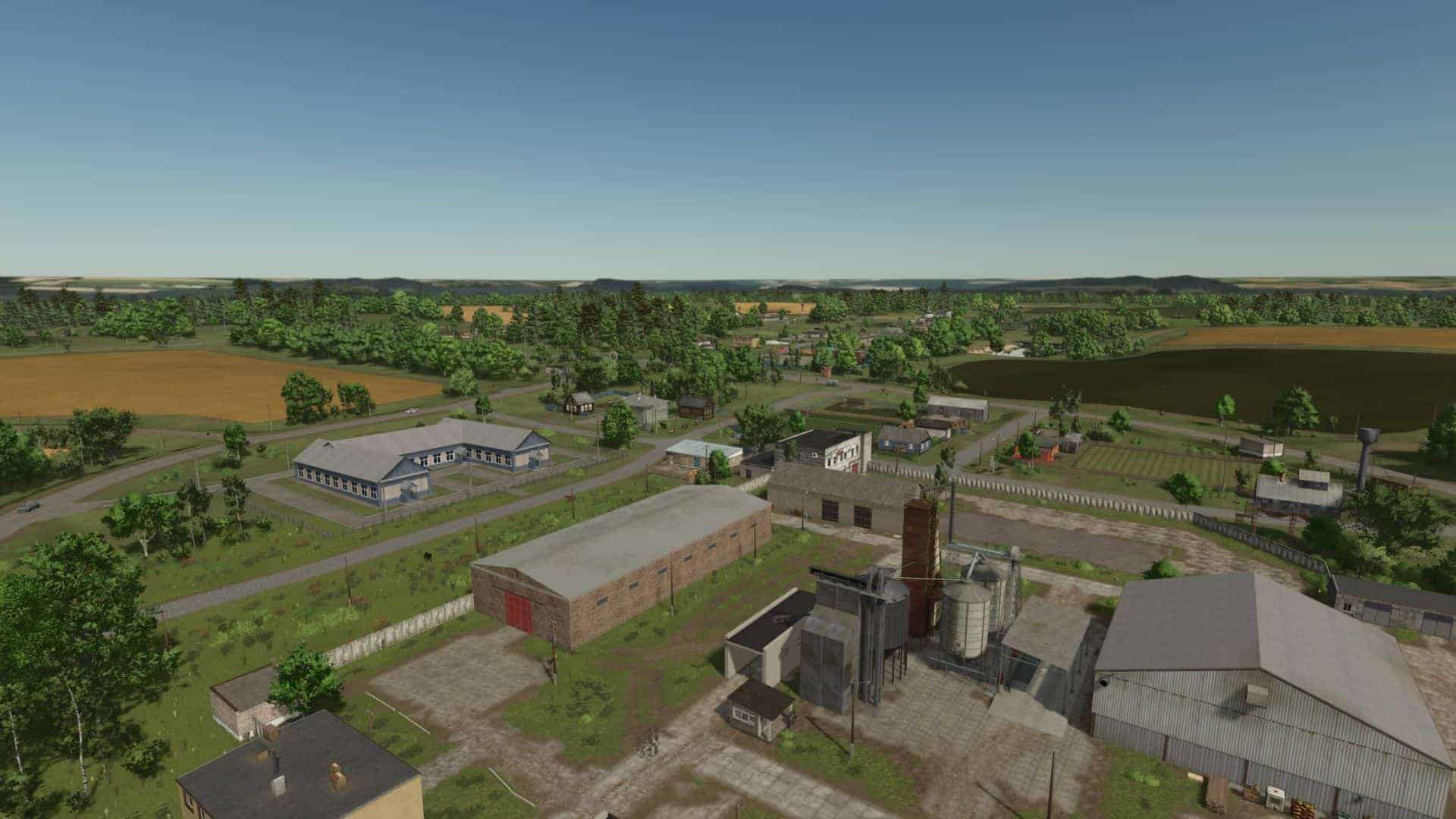
– 7 villages;
– 4 livestock farms (cows, sheep, goats, pigs, chickens);
– 10 production sites;
– 10 sales points.
Additionally:
– Local harvest calendar;
– The climate of central Russia;
– The map is adapted for precision agriculture;
– Gravel for transporting to the market;
– Modified textures for corn and grain cultivation, as well as stubble crushing;
– Custom terrain textures;
– Russian license plates;
– Search for objects on the map;
– Puddles that appear on fields and roads when it rains;
– Animated animals on the map;
– NPCs with Russian names;
– Various interesting facts and Easter eggs on the map.
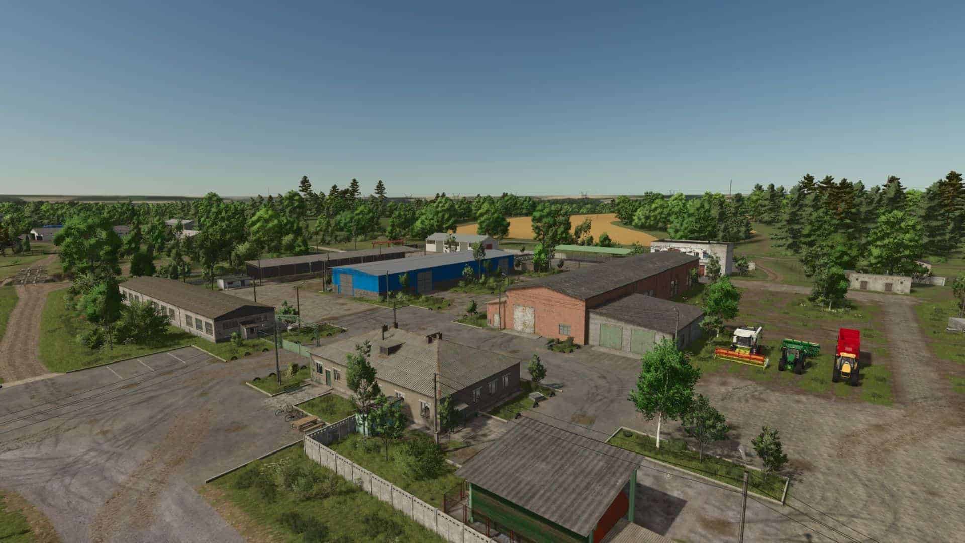
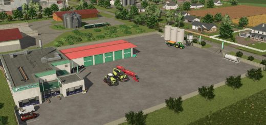
Objects:
– 3 machine and tractor parks;
– Administrative building;
– Granary;
– Agricultural machinery and animal dealer;
– Vegetable warehouse;
– Cattle complex;
– Pig farm;
– Sheep and goat farm;
– Poultry farm;
– Dairy;
– Oil production plant;
– Flour mill;
– Bakery;
– Sugar factory;
– Spinning mill;
– Sawmill;
– Feed mixing plant;
– Silo fermenter;
– Seed protection plant;
– 5 free locations;
– Animated objects;
– Car and pedestrian traffic;
– 3 silos;
– Warehouses.


Hi can not open the main gate and no garages for why?