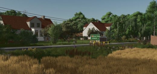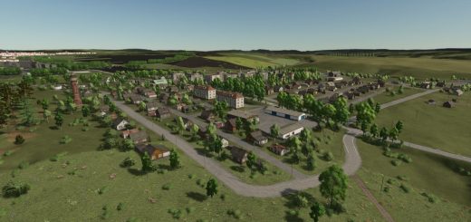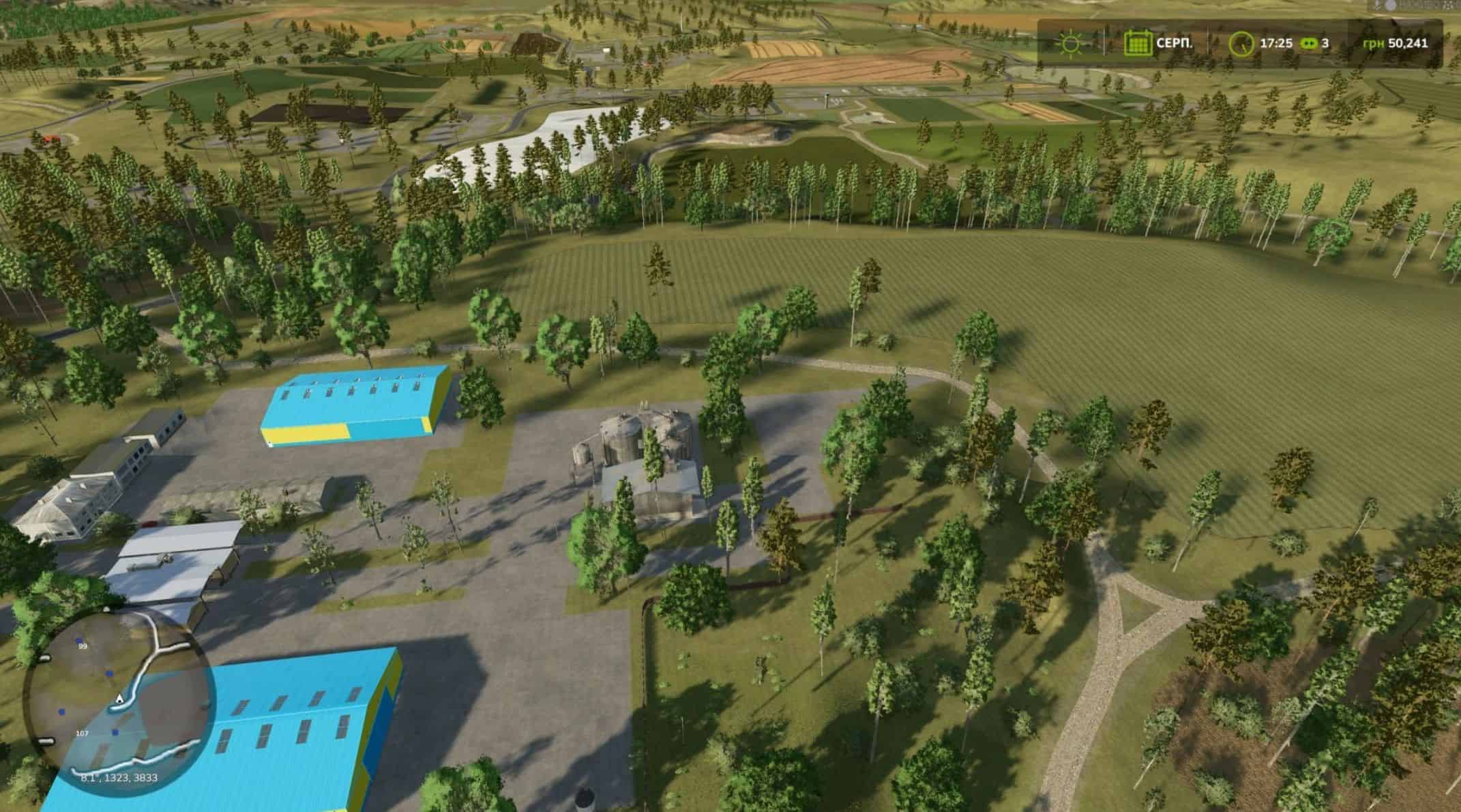
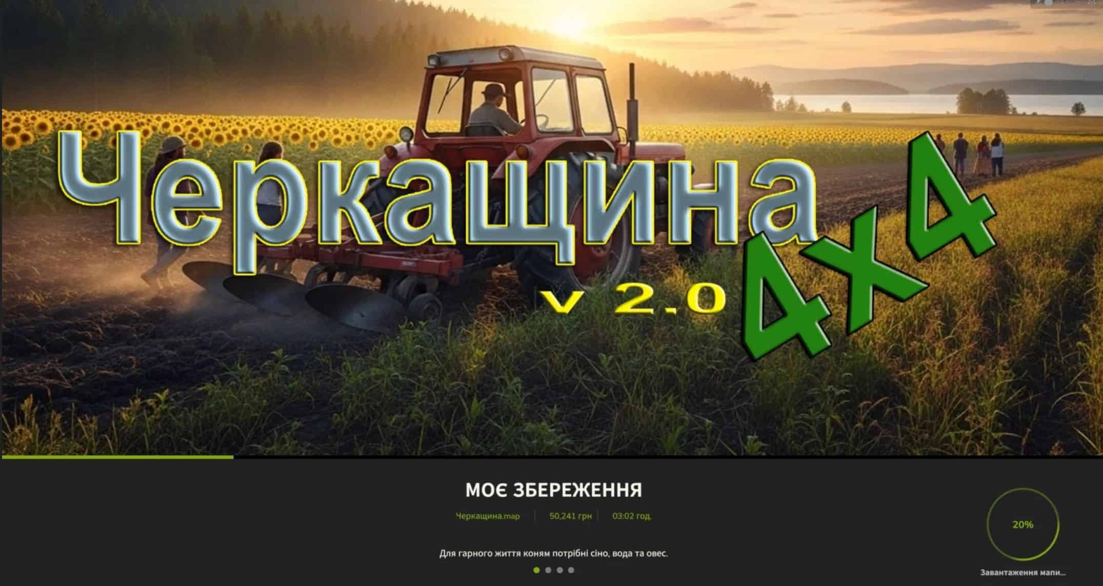
Cherkasy 4×4 v2.0
General information
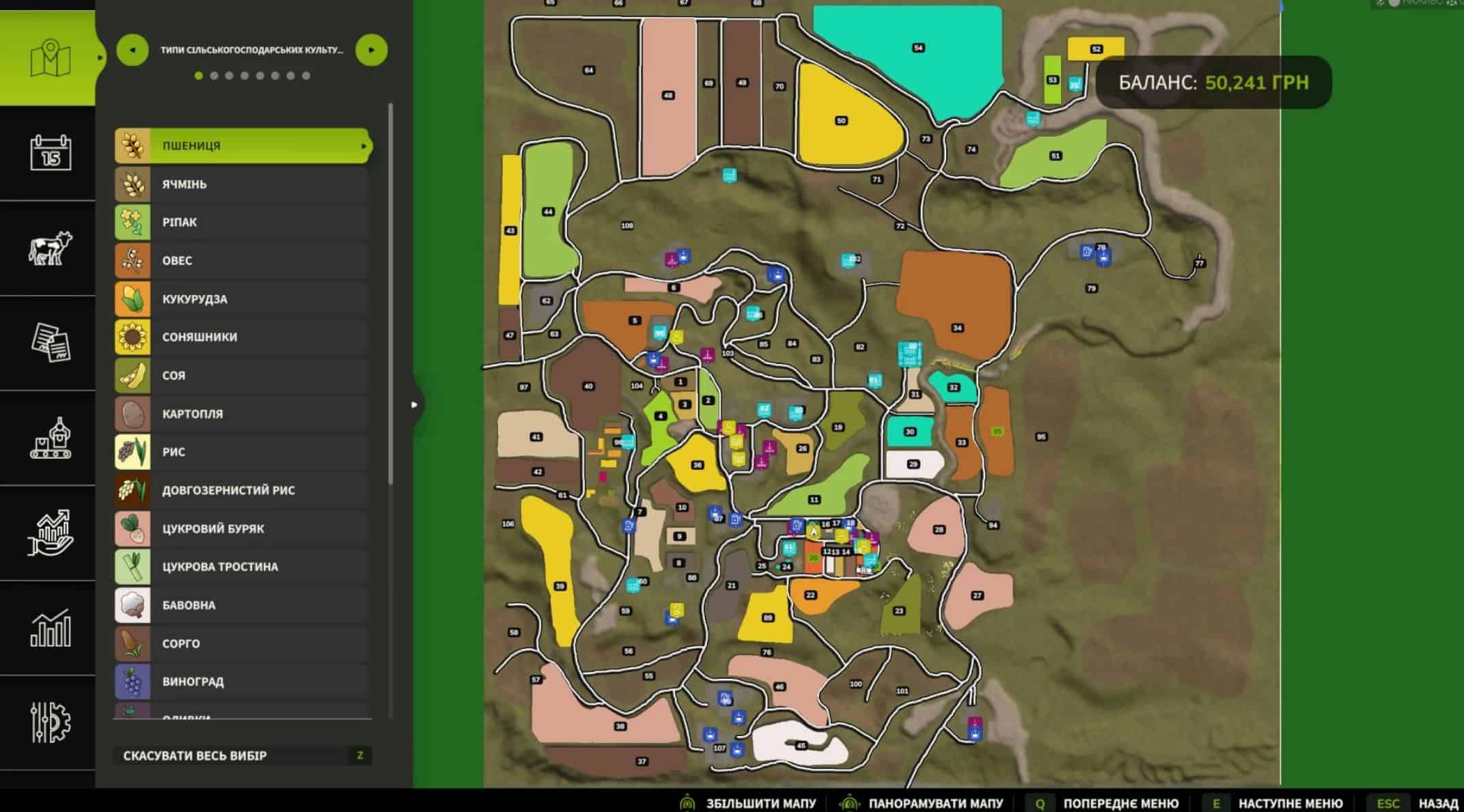
– Region: Ukraine, Cherkasy region
– Map Type: Agricultural Region with Industrial Objects
– Number of bases: 3
– Number of Purchased Plots: 107
– Industrial sites
– Oil mill
– Mill
– Sugar factory
– Meat processing
– Cement plant
– Fisheries
– Production of caviar
– Diesel production
– Bakery
– Sawmill
– Paper factory
– Industrial base – near the cement plant and fishery
– Purchased areas
– Number: 107
– Types: fields, forest areas, small farms, fishery reservoirs
– Location: evenly throughout the map, for maximum gample freedom
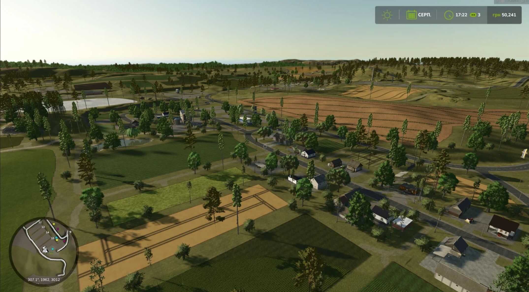
Features of the map
– Ukrainian theme: buildings, rural environment and transport correspond to the Ukrainian region
– Complete production cycle: from growing agricultural culture to processing and industrial production
– Landscape: fields, forests, rivers, roads and reservoirs
It will be good if you write in comments that have found mistakes or may miss.